Uttarakhand: The portal will monitor government lands! Encroachment of government land will be heavy in the state, listen to what Dhami said on encroachment
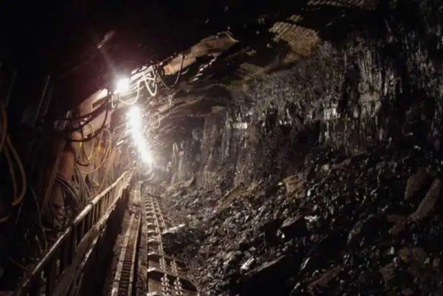
Illegal encroachment and illegal construction on government land will now be caught through satellite. ITDA and USAC have started work on this after the instructions of CM Pushkar Singh Dhami. All departments are preparing registers and digital inventory of their lands. The special thing is that now the picture of illegal occupations up to 25 cm height will be clear. Recently, the CM had given instructions to make special efforts to remove illegal encroachment from the lands of all departments, to use satellite. The government had issued an order to save large scale government lands from illegal encroachments.
Under this, state level committees have been formed under the chairmanship of the Chairman of the Revenue Council and district level committees under the chairmanship of DMs of all the districts. Under this order, Uttarakhand Space Applications Center (USAC) and Information Technology Development Agency (ITDA) have started work.
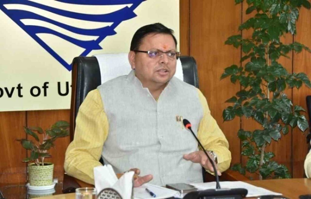
What did CM Dhami say…
On the other hand, regarding the encroachment on the banks of the rivers in the state, the Chief Minister said that some people are spreading confusion about this campaign, CM said that encroachment is a serious matter and it will not be tolerated at any cost, but according to the CM, A committee has also been constituted in the cabinet to regularize the people who have been living on the edge for years. But the government is very serious about those who have encroached on government land in the form of a symbol like a temple or a mosque. He said that the people who have forcibly occupied themselves should remove their encroachments, otherwise strict action will be taken against them and the government will agree only by removing those illegal encroachments.
Will report on website
A portal is being prepared, which will take satellite data of all government lands in the state every quarter. It will match with the website. This software will issue alerts wherever there are illegal occupations. According to that alert, the team of the concerned district will remove the illegal encroachment and report on the same website.
There will be three types of alerts
In the AI-based process, three types of alerts will come for illegal construction or encroachment on the land. The first alert will be the critical warning, which will come on excessive construction or occupations. Occupants less than that will result in medium and low level alerts. On all the alerts, the officers of the concerned districts will have to upload the report after taking action on the spot.
Lands will have unique ID
Government lands will have their own unique number. All the departments will make a register of their land property. A committee has been constituted under the chairmanship of DM at the district level to remove encroachment from government land. A separate cell has been created in the Board of Revenue for technical assistance. At the state level, a committee has been constituted at the level of Chief Secretary. Both the committees will regularly monitor the action taken to remove the encroachment.
We have started work on satellite imagery in USAC. The data received from the satellite will give information about illegal constructions and encroachments on government lands every quarter, for which an alert will be issued. ITDA and USAC are working together.
Nitika Khandelwal, Director, ITDA and USAC