Uttarakhand asks Centre for separate satellite constellation for Himalayan states, proposes work at space meet
a
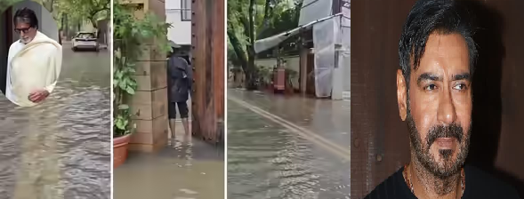
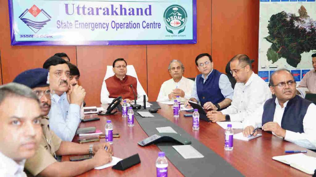
Uttarakhand, which faces disasters every year, is now looking for ways to protect itself from them. To this end, the state has requested a separate satellite constellation for the Himalayan states. This will enable accurate weather forecasting models, water levels, and snowfall. At the recent Space Meet in Delhi, IT Secretary Nitesh Jha from Uttarakhand gave a presentation on pre-disaster preparedness and post-disaster efforts in the state.
Before a Disaster: A Separate Satellite Constellation
High-quality satellite images (very high resolution) with resolutions of less than 50 centimeters will be used to map and monitor mountainous terrain. He has demanded that advanced technological systems are needed to provide early warning of potential landslides, floods, or other natural disasters. High-resolution digital elevation models (DEMs) and LiDAR technology provide accurate information on elevation and topography.
This will help better understand the potential for events like landslides and floods. The state has also demanded accurate satellite data-based models for predicting weather, water levels, and snowfall. The Secretary stated that given the unique geographical conditions of the Himalayan region, a dedicated satellite constellation is needed, dedicated to monitoring and collecting data for this region. He also emphasized the need for a dedicated climate observatory to continuously monitor climate change and its impacts.
A Satellite-Based Communication System is Necessary After a Disaster
Secretary Nitesh Jha stated in his eulogy that communications are often disrupted after a disaster. Therefore, a satellite-based network will facilitate relief and rescue operations. He also demanded daily and all-weather satellite information even after a disaster, allowing for the immediate identification of river blockages or temporary lakes.
During the Dharali disaster, cloud cover caused problems with satellite imagery. Therefore, the state has demanded synthetic aperture radar, which provides clear images even in cloudy and monsoon weather. This technology is useful in understanding the terrain after a flood or landslide.